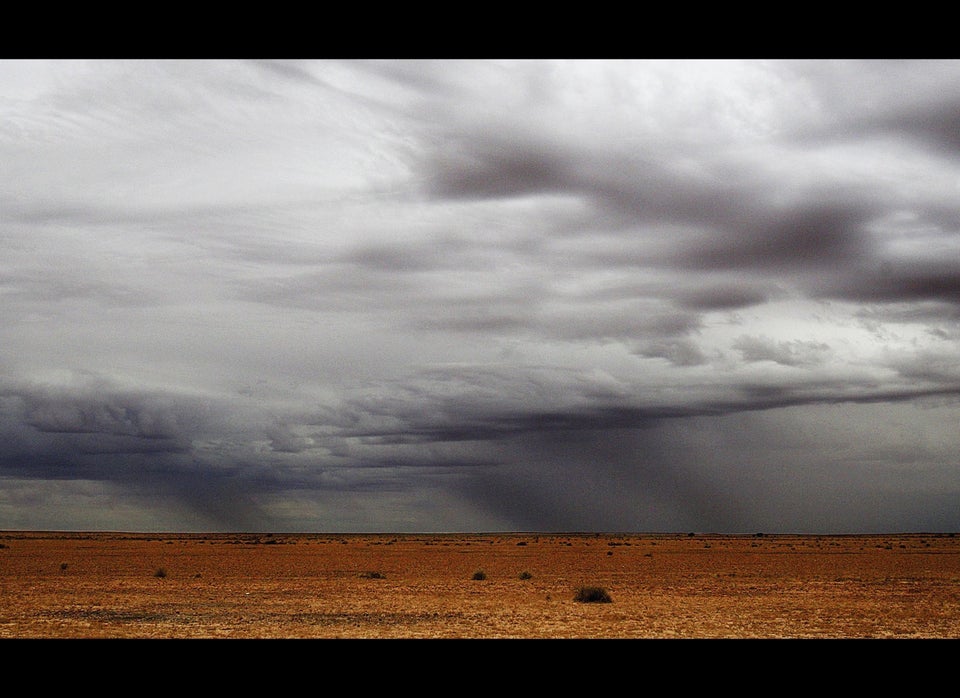
There are times that it would be great to stare up at the sky -- or, alternatively, onto the screen -- and see something wonderful.
Monday morning, Northern Virginians were treated to a "roll cloud" -- a rare and spectacular type of tubular horizontal cloud.
Roll clouds typically occur in the lower atmosphere ahead of a storm front. Warm updrafts in the storm front push cold air up, which then flows down along the sides of the updraft. The cold downdraft then bounces back up a bit setting up a wave-like structure in front of the storm.
On the upswing, the cold air forms a cloud. Evaporation of the cloud causes a downdraft on the edges that erodes the cloud, forming a roll. If the wave continues, a series of roll clouds, called a street, can form.
Per the National Weather Service, a roll cloud can be "associated with a thunderstorm gust front (or sometimes with a cold front)" but is detached from the storm's base. NASA assures that roll clouds aren't thought to be able to turn into tornadoes.
And here's what the sky looked like:
@capitalweather great view from @NWS_SFSC today..followed it from Aldie on the way in pic.twitter.com/10QLrtF3Co
— NWS SFSC (@NWS_SFSC) September 16, 2013
Need a longer mental break? Check out more amazing roll cloud photos at the Washington Post.
