These NASA satellite images, captured in September and October, highlight the huge scale of an area scorched by fire in the Northern Territory of Australia. The Northern Territory is the least populous of Australia's major states and territories, and wildfires are very common.

Fire progression from Sep. 12, 2014 to Oct. 9, 2014. All images from NASA Worldview.
Rick McRae, risk analyst for the Australian Capital Territory Emergency Services Agency, told NASA Earth Observatory that this particular location burns very frequently. McRae said that if you take a closer look at the land in the satellite images, "you will see that the entire region is a mosaic of old and large burn scars.” According to Earth Observatory, the size of the current burn scar is around the size of Massachusetts.
The fire appears to be still burning in the satellite images, so the burned area may continue to grow in the coming days and weeks. North Australian Fire Information's map shows hotspots on the southern edge of the burn scar.
For scale, the burn scar is visible in northern Australia in this image of the entire continent.
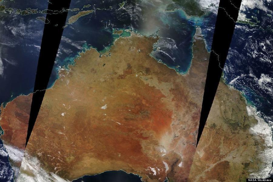 Image from NASA Worldview, Oct. 9, 2014.
Related
Before You Go