
As reported in my November 2009 post entitled "Boulder Falls Trail ... a Remembrance" the Boulder Falls Trail was indefinitely closed by the City of Boulder's Open Space and Mountain Parks (OSMP) Department. The area was initially declared off limits after a large rock injured a March 2009 visitor while she was viewing the falls. The boulders above the trail were deemed to be unstable creating a rock fall danger.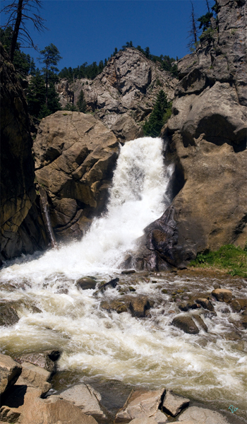
Boulder Falls captured 30 June 2008 2:00 pm @ 40.007155,-105.405364
This sign at the bottom of the Boulder Canyon announced the closure of the trail to this treasure for over a year... 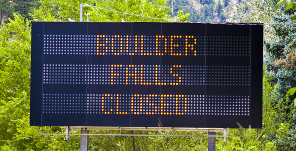
Disappointment In Boulder Canyon
After a study of options the city decided hire a yearly "scaling" crew to dislodge loose rocks that might be in danger of coming down on their own. Since the scaling and a rock barrier are only temporary fixes the Boulder FallsTrail will be closed each year between Nov. 1st and May 1st and will be rescaled each year. Now, as reported in the Daily Camera the Boulder Falls Trail has reopened for the season! Thanks to OSMP and Boulder's green legacy Mandy the dog and I were able to return to the Falls.
The Boulder Falls Trail is located 11 miles west of Boulder, on the north side of Boulder Canyon Drive (SR 119) between Boulder and Nederland @ 40.007155,-105.405364. We drove up the Canyon to this sign which marks the need for a left turn signal... 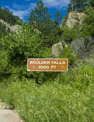
Parking On Left
Remembering Frogger, we carefully crossed the highway...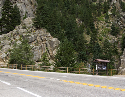
Look Both Ways
...and took a few minutes to read this trailhead sign which has lots of interesting information about the area's history, fauna and flora...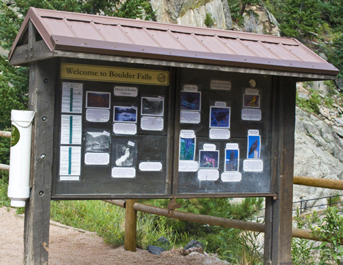
Boulder Falls Trail Sign
The Falls area was given to the City of Boulder by Charles G. Buckingham, president and co-founder of Buckingham Brothers Bank (which became Norwest Bank). He donated it to the City of Boulder for recreational purposes in 1914, hence "saving this beautiful spot from the encroachment of the great tungsten boom."
For many years the Boulder Falls (a.k.a. "The Yosemite of Boulder Canyon") was the popular destination for picnic groups looking for a getaway from the city. Eventually the railroad diverted tourist travel to places like The Switzerland Trail and the popularity of Boulder Falls as a day trip destination declined. Now thanks to Boulder's taxpayers and the highway this trail has regained its popularity. The damaged path has been carefully restored... 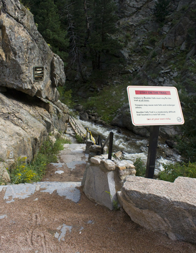
Unlocked at Last
It's just few steps down to the cool (but potentially dangerous) falls... 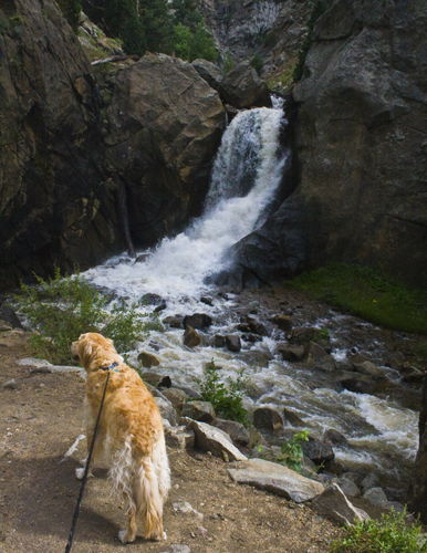
A Short Walk To The Falls
...where evaporative cooling makes this a nice place to be on a hot day... 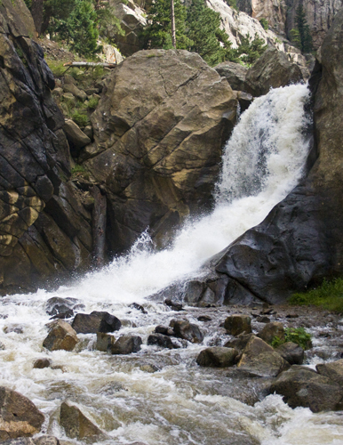
Nature's Evaporative Cooling
The view downstream... 
A View Down the Middle Boulder Creek
Here's some protection from Boulder's bouncing boulders... 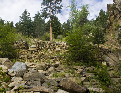
Boulder Retaining Wall
It's time to go back up the short trail to the parking lot. It's great having this tiny gem back in the OSMP portfolio... 
Back to the Car