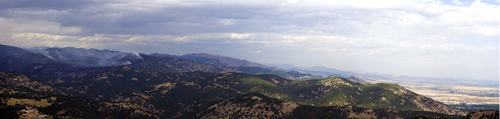
I was out on a pretty hike on the Shanahan Ridge Trail on Labor Day. It was a breezy bright blue Colorado morning, which made this dark cloud seem ominously out-of-place...
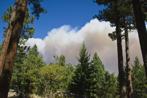
My First View of Fourmile Canyon Fire September 6 @ 11:30am
It was the beginning of the Fourmile Canyon wildfire. The weather was ideal for the birth of a monster wildfire; a dry wind had been gusting since early morning through dry forests. The fire spread quickly west of the City.
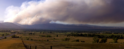
The Fire Quickly Spread West of the City of Boulder
According to the Daily Camera, as of September 12, 166 homes were destroyed and 6,427 acres/2,600 hectares were scorched in the foothills west of Boulder, making this the most destructive in terms of property damage in Boulder County history. Fortunately, it appears that no one was hurt. We don't suffer earthquakes and hurricanes, but we do get dangerous fires; this is the risk we take to live in or on the forest's edge. Boulder County has one of most developed wildland-urban interfaces in the West.
Soon the heroic efforts of the firefighters (nine of whom lost their own homes) and the rains will begin the recovery. In the years to come the habitat will recover for the humans as well as the wildlife and we will scurry back into our beloved forest. This is just too attractive a place to abandon for long. Perhaps we will learn more about promoting sound forest management practices from this event.
The sun was an eerie red color all day long, making its setting look like a science fiction scene...
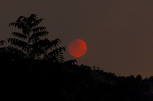
Smoky Sunset Over Boulder Foothills
The iconic flatirons were softened by the smoke this morning...
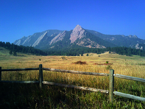
Boulder's Smoky Mountains
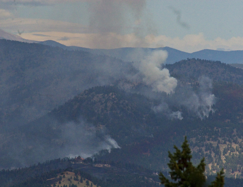
The fire is west of the City of Boulder, threatening mountain towns. Here's a view looking north from the Lost Gulch Overlook (39.990573,-105.320617) on Flagstaff Road. Note that the north end of the City of Boulder is uncharacteristically on the right (east) in this shot...
September 8 @ 2:45pm, Lost Gulch Overlook
Here many anxious homeowners are overseeing their properties. Note the Continental Divide in the background...
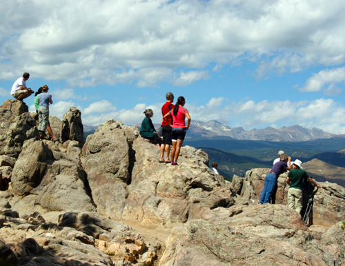
Anxious Homeowners and Fire Watchers
This outcropping made an ideal perch to observe the the scope of the fire...
Rugged Country and Vulnerable Habitat
...and the efforts to put out the blaze...
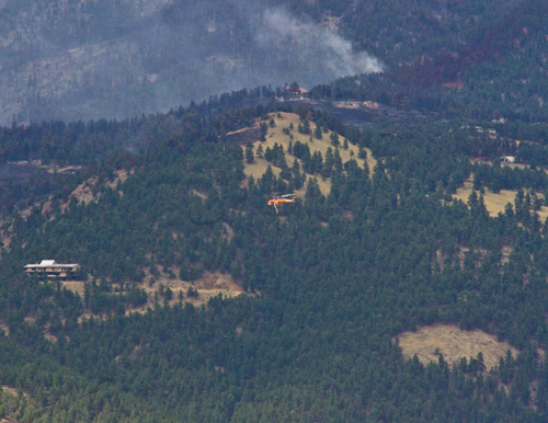
Putting Out A Fire
We were joined on our perch by this little spectator...
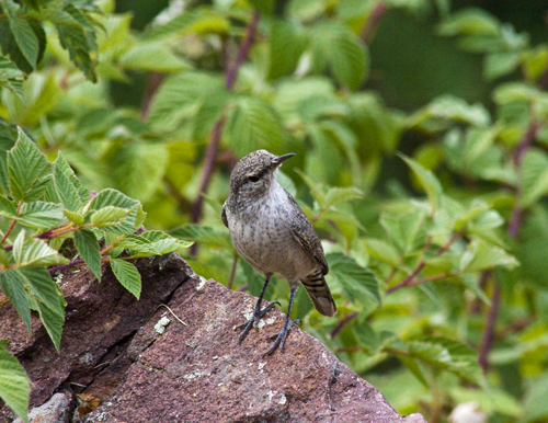
Rock Wren (Salpinctes obsoletus) Joins The Spectators