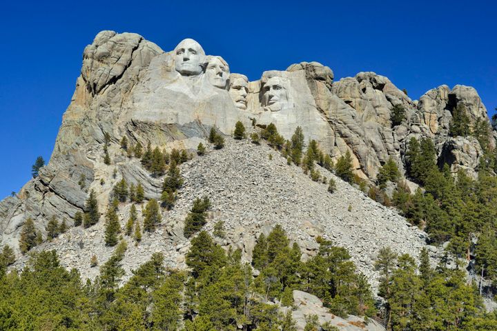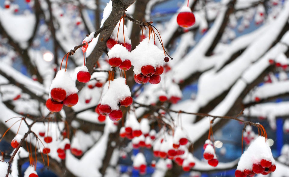
A sprawling spring storm is bringing multiple hazards to the West, Great Plains, and Midwest on Tuesday, before moving east and setting off more severe thunderstorms in the Mississippi River Valley later in the week. The storm is delivering a crushing load of heavy snow to parts of the drought-plagued Plains, with the greatest amounts falling in South Dakota, where the National Weather Service is forecasting upwards of 2 feet by the time the snow winds down on Wednesday.
Blizzard warnings were in effect for parts of Colorado on Tuesday due to the combination of heavy snow, frigid temperatures, and strong winds that were lowering visibilities down to a quarter mile or less at times. The storm came as quite a shock for Denver residents, as Monday’s high temperature was a balmy 72°F. On Tuesday morning, the thermometer dipped to near record cold territory, with an air temperature of just 15°F.
On Monday evening, tornado warnings were issued in eastern Colorado while winter storm warnings and advisories were also in effect, which is a rare occurrence that demonstrated the rapidly changing weather conditions at the time.
Moderate to heavy snow is expected to fall on Tuesday from the Central Rockies to the Central Plains, with snow also breaking out in the Upper Midwest. A heavy, messy wintry mix of snow, sleet, and freezing rain is likely from northeastern Nebraska into southern Wisconsin through Wednesday morning.
Spring snowstorms are not uncommon in Colorado, Wyoming, and Nebraska, but this storm is noteworthy for dumping such heavy amounts of snow and for the extremely cold temperatures that it is helping to bring southward out of Canada.
The heavy snow is good news for both spring skiers and for farmers and water managers who have been anxiously eyeing water supplies as drought conditions have persisted since early 2012. In Wyoming, for example, the snowpack was running at nearly 80 percent of average before this storm, and in Nebraska, 94 percent of the state was rated as being in “extreme” to “exceptional” drought conditions as of April 2, which are the two most severe categories. In South Dakota, conditions were not much better, with 66 percent of the state rating in the worst two drought categories.
This storm won’t deliver enough precipitation to end the drought in the Plains and parts of the Rocky Mountain States, but it will help reduce the precipitation deficits in this region and potentially increase soil moisture, depending how quickly the snow melts.
The storm is feeding off the contrast between an unusually potent Arctic air mass that is surging south from Canada, and a more spring-like air mass farther to the east, where conditions are warmer and more humid. This is setting the stage for what is likely to be the most widespread severe thunderstorm outbreak since March 18, following the least active March for U.S. tornadoes in more than three decades.
Severe thunderstorms are likely to erupt on Tuesday from southern Iowa southwestward into Texas, with the Storm Prediction Center in Norman, Okla. warning that there is a “moderate risk” of severe thunderstorms with large hail, damaging winds, and possible tornadoes in southern Oklahoma and northeastern Texas.
As the storm pulls out from the Rockies on Wednesday, a line of organized thunderstorms is forecast to develop in the Middle to Lower Mississippi River Valley, which could result in a favorable setup for widespread damaging straight-line winds, but not necessarily a large tornado outbreak.
Related Content:
Spring Blizzard to Dump Heavy Snow, Spark Severe Weather
Ongoing Coverage of Historic U.S. Drought
Drought Has Ties to La Nina, With Global Warming Assist
In West, Second Drought-Filled Summer in Store
From 2012 to 2013: March Blows Hot, Then Cold
From Heat Wave to Snowstorms, March Goes to Extremes
Follow the author on Twitter @afreedma or @ClimateCentral. We're also on Facebook & other social networks.
